El Hierro’s explosive past uncovered
A new study by Geosciences Barcelona (GEO3BCN-CSIC) has meticulously reconstructed the recent volcanic history of El Hierro, the youngest island in Spain’s Canary archipelago. The research reveals that over the last 11,700 years—a period known as the Holocene—the island experienced at least 42 surface eruptions, far more than previously documented.
Rethinking volcanic activity
Historically, El Hierro was considered to have low recent volcanic activity, with only three documented underwater eruptions—the most recent being the 2011 Tagoro volcano event. However, this study proves the island has been far more active than assumed, with eruptions affecting all its volcanic ridges at highly irregular intervals.
“Understanding El Hierro’s recent volcanism helps develop accurate models of eruption impacts, such as lava flow evolution or pyroclastic cone formation,” explained José Luis Fernández-Turiel, GEO3BCN-CSIC researcher and study coauthor.
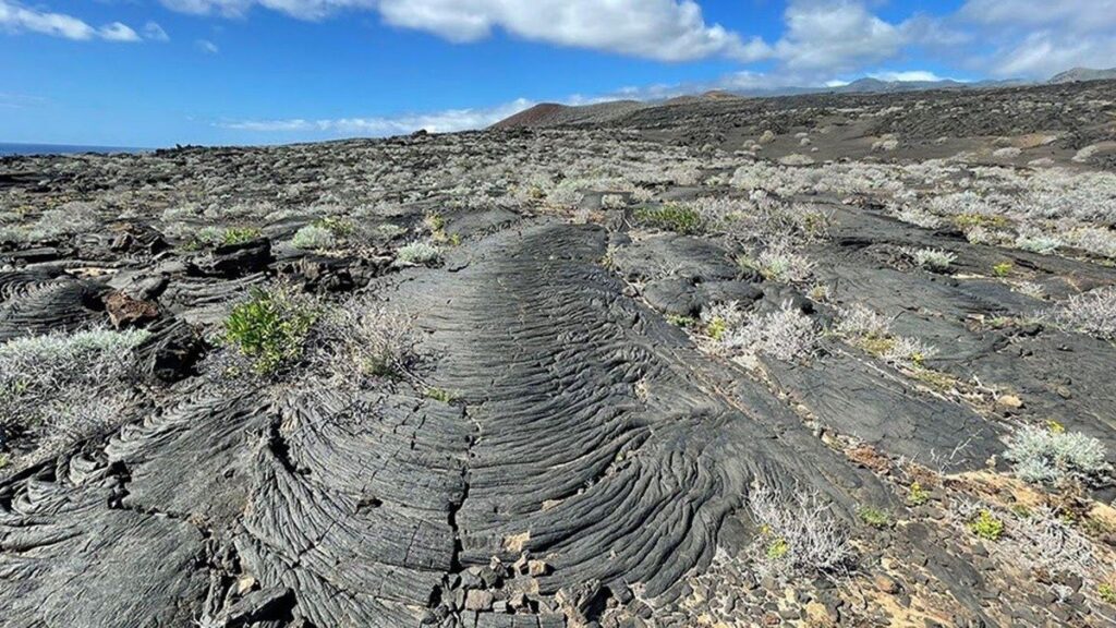
Mapping volcanic history
A research team from the University of Barcelona, University of Las Palmas de Gran Canaria, University of La Laguna, and France’s CNRS Climate and Environmental Sciences Laboratory conducted extensive fieldwork. They mapped 42 subaerial volcanic structures, analyzing how lava flows and pyroclastic deposits overlapped while assessing erosion from wind and rain.
“We applied a statistical model combining these observations with dating methods, estimating ages for 36 eruptive events—17 of them for the first time,” said lead author Claudia Prieto-Torrell. “This robust Holocene chronology helps better contextualize El Hierro’s volcanic risk for future eruptions.”
Unpredictable eruption patterns
The findings show eruption intervals varied dramatically—from 30 to over 1,000 years between events. The most recent surface eruptions occurred over a millennium ago at Lomo Negro and Montaña del Tesoro volcanoes. Despite this long quiet period, the island remains active: besides Tagoro, researchers suspect undersea eruptions occurred off its coast in the 1700s.
Consistent eruption style
While timing varied, eruption characteristics remained consistent. “The style has stayed the same throughout this period—predominantly Strombolian eruptions forming pyroclastic cones tens to hundreds of meters high,” noted Fernández-Turiel. “Lava flows sometimes stretched kilometers, occasionally forming coastal deltas that expanded the island.”
From science to tourism
Beyond scientific value, researchers highlight the educational and tourism potential of this geological heritage. In 2014, UNESCO recognized El Hierro as a Global Geopark, with over 60 geological sites across its 268 square kilometers.
Conducted as part of Project LAJIAL, this study sets a benchmark for understanding other oceanic volcanic islands like Hawaii, Cape Verde, and the Azores. “A detailed eruption chronology improves predictive models, strengthens volcanic monitoring, and prepares us better for future crises,” emphasized Prieto-Torrell.
